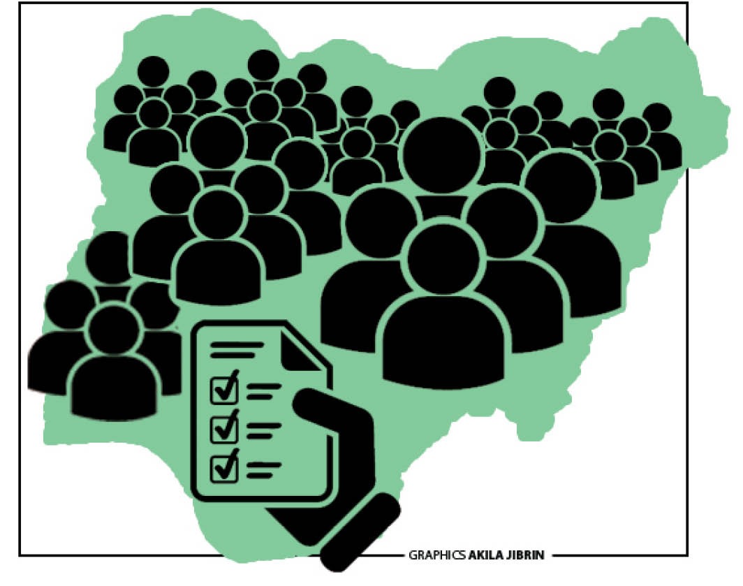
Geographic Information Systems (GIS) and geospatial intelligence are becoming vital tools for security in developing nations like Nigeria. GIS is a computer-based tool that stores, organises, analyses, and shows information tied to specific spots on Earth. Its reported application in the Oriire kidnapping incident in Oyo State provides a practical example of how location intelligence can contribute to security operations. At a roundtable organised by the Geoinformation Society of Nigeria (GEOSON), Oyo State Chapter, to commemorate the 2026 United Nations World Day Against Trafficking in Persons, experts examined how location intelligence could be deployed not only in rescue operations but also in preventing kidnapping, human trafficking and other crimes. The forum provided an important question for Nigeria’s security architecture: What if knowing where a threat is likely to occur could help security agencies act before lives are lost? The answer, according to geospatial professionals, lies partly in turning maps into intelligence. Beyond the conventional map, GIS is traditionally associated with mapping land, planning cities, managing infrastructure and analysing the environment. But its security application goes much further. At the GEOSON roundtable, participants explained that GIS could combine geographical information with data from GPS, remote sensing, drones, spatial analysis and artificial intelligence to identify patterns that may not be immediately visible through conventional intelligence gathering. Dr Ademola Adeyemi, former Head of the Department of Urban and Regional Planning, Lead City University, said geospatial intelligence could identify trafficking hotspots, vulnerable communities, recruitment locations and movement routes. It could also support border surveillance, rescue operations and rapid emergency response. In other words, a map can become more than a representation of physical space. It can become a tool for understanding where crime occurs, how criminals move and where interventions should be concentrated. The significance of this capability was brought closer to home by the Oriire experience. According to information shared at the GEOSON forum, the Oyo State Government leveraged GIS spatial technology as part of the intelligence used to locate the place where the abducted pupils and teachers were held captive. The development illustrates the practical value of geographical intelligence in rescue operations. In a kidnapping situation, identifying a general area is not enough. Security personnel need to know the terrain, possible access routes, escape corridors and surrounding settlements. Accurate spatial information can help narrow the search area, guide deployment and support operational planning. This is particularly relevant in rural areas where forests, difficult terrain and poorly monitored routes can provide hiding places for criminal groups. The GEOSON report on trafficking and kidnapping similarly recommended the use of GIS, remote sensing, unmanned aerial vehicles, GPS, community surveys and spatial analysis to identify hotspots and movement routes. The Chairman of GEOSON, Mr David Afolayan, believes the greater value of GIS lies in what it can do before an incident occurs. According to him, if previous kidnapping incidents are mapped, authorities can begin to identify geographical patterns. “If those incidents are then compared with forests, roads, schools, transport terminals, isolated settlements and security formations, high-risk areas may become easier to identify. “Such information could help authorities determine where surveillance should be intensified, where security posts may be required and which communities need early-warning mechanisms,” Afolayan said. Other experts at the forum note that the approach represents a fundamental change. According to the association, the criminal networks, like legitimate organisations, depend on routes and connections. The experts note that kidnappers need routes to move victims, just as traffickers have recruitment points, transit corridors and destinations. They highlight that criminal groups exploit forests, border crossings, mining areas and poorly monitored corridors. At the GEOSON forum, a surveyor, Mr Rasheed Adesoji, said human trafficking and kidnapping, although legally distinct, frequently overlap through shared routes, actors and vulnerable populations. He identified porous borders, remote forests, difficult terrain, mining areas and poorly monitored corridors as areas exploited by criminal networks.
Don't miss out on breaking stories and in-depth articles.